The Russians are Coming! Soviet Spies and the Secret Mapping of Torbay
19 August 2020 - 16 January 2021
During the Cold War the Soviet Union embarked on the greatest secret intelligence-gathering operating the world has ever (not) seen, with spy satellites, reconnaissance aircraft and undercover agents gathering information from across the globe. It drew up detailed invasion maps of the great cities of the world: New York, Paris, London … and Torbay!
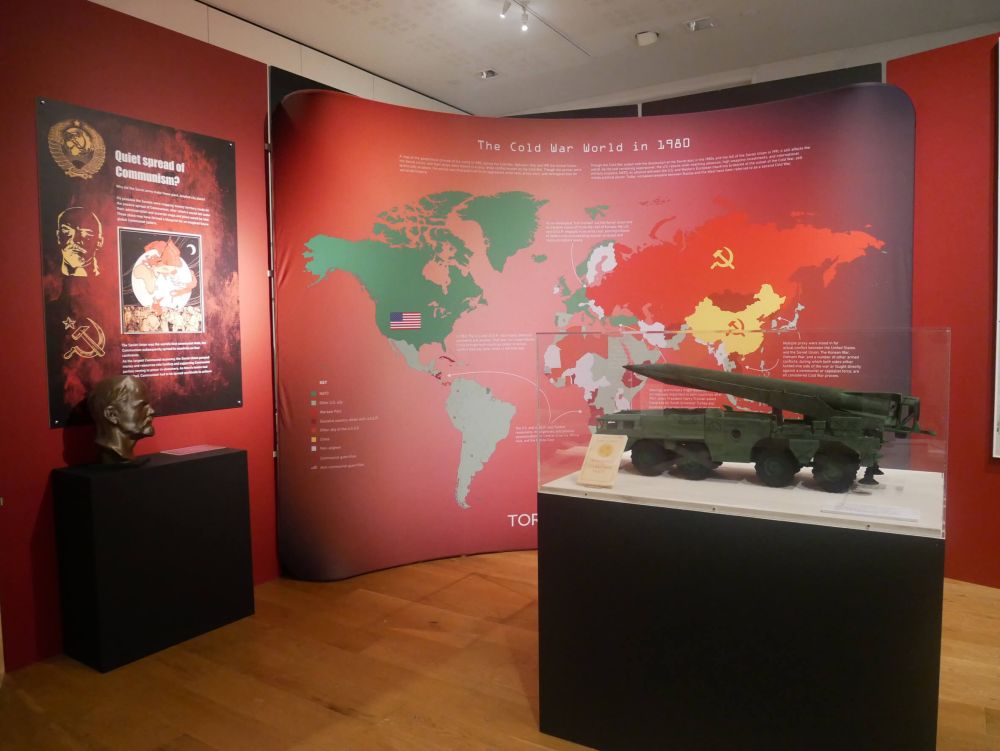
This extraordinary exhibition tells the hidden history of this remarkable undertaking to map the most important areas of the world in the pre-internet age. The astonishing detail shown on the maps was useful for spies and policy makers, diplomats and invading armies and potentially occupiers. These maps provided tactical information about Torbay and chilling insights about the best routes for tanks and harbors with deep water for destroyers.
The highly detailed and top secret maps of Torbay are being displayed here for the first time since they came to light just a few years ago. Visitors can also see the types of spy equipment that Soviet agents used on the streets to gather information to create maps in far more detail than those made in this country. There are also Cold War uniforms, Civil Defence equipment, and models of Soviet military hardware. This exhibition is a must see for all those who remember life in Cold War years, love spy gadgets, and want to know how close we came to mutually assured destruction!
Support Torquay Museum
Did you know that whenever you buy anything online – from your weekly shop to your annual holiday – you could be raising free donations for Torquay Museum with easyfundraising? Find out how!
Stay Connected with Our Newsletter
Be the first to hear our latest news by signing up to our newsletter. Also don't forget to follow us on social media - @torquaymuseum.


